| Attachment | Size |
|---|---|
| Sappee-Särkijärvi trail description as pdf | 81.42 KB |
The path starting from Sappee travel centre goes down Sappeenvuori hill in a beautiful forest surrounding and continues towards the lake Särkijärvi lean-to, which is located in a wonderful spot and offers a great place to rest before heading back. The travel centre’s services are nearby in case all the hiking made your hungry!
Length: approximately 5 kilometres
Duration: approximately 2 hours
Trail markings: the trail is marked with blue-headed marking poles like all Laipanmaa trails. In the beginning there are several routes on the same area. Just follow the blue-headed poles and you’ll stay on the right trail.
Suitability: suitable for almost all levels of hikers. There are a few very steep rises and descents which are in part rocky and full of rootstocks which can be very slippery when wet.
Sappee-Särkijärvi Trail description
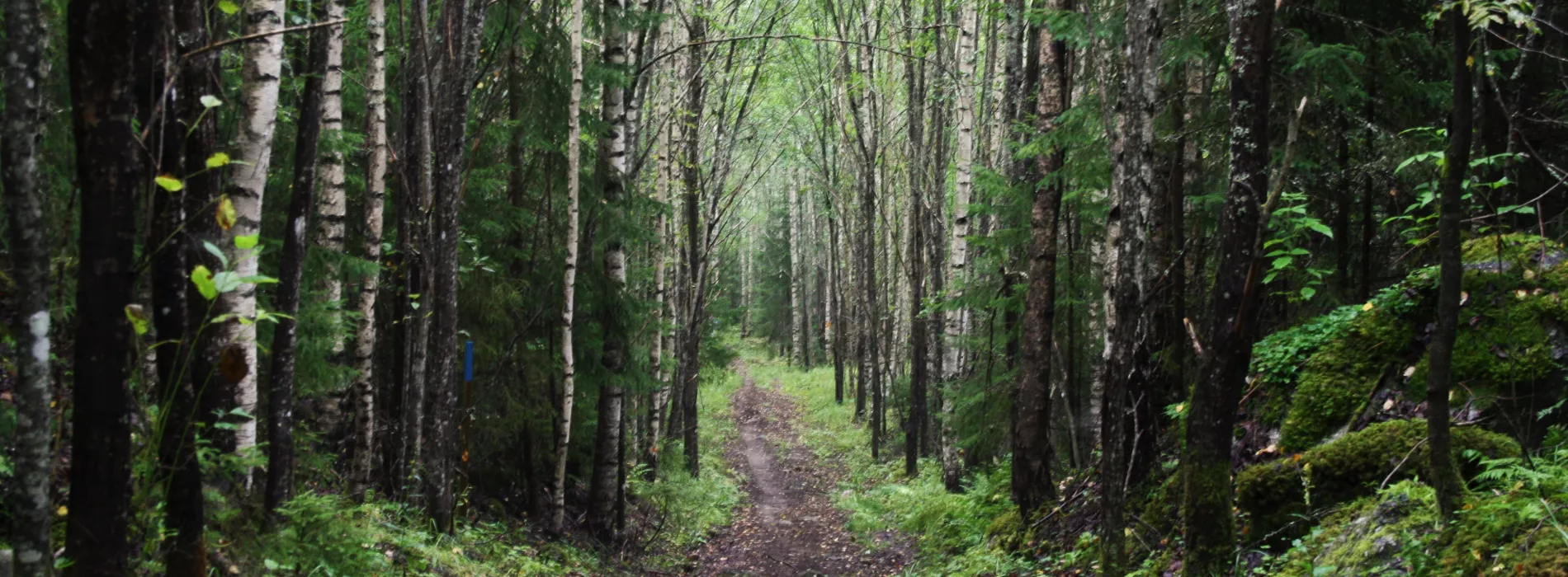
The trail starts from the Sappee travel centre where there is ample parking space. There’s a gate to Laipanmaa and an info post from where the trail will go right and you’ll start following the blue-headed marking poles. The path is broad and easy to walk and the beginning is gently sloping for a long time. There are a few steeper and stonier bits too. The forest is light, clear and beautiful and it’s simply nice to walk there.
After about 500 metres you’ll cross a broader ski track base and a bit of forest and land on a forest road. Take it to the left. The road will become a path which is partly rather steep. At about one kilometre you can go right from the path and see Jylhä’s Church – the people’s name for two glacial erratics where is is believed that prayers were said.
Clear forest views and a few rises
After going downhill a bit narrower path will diverge to the right, take it through an older forest. There’s a broad bridge over the wetter spot. The path goes right towards a lighter forest with a grass-covered ground. At about 1,5 kilometres there are several stony and steep rises – take care during wet weather! After that the terrain levels out, the forest stays light and the path can be easily seen even without keeping a keen eye on the marking poles.
Wooden bridges to the Särkijärvi lean-to
At about 2 kilometres you’ll cross a small forest road and continue on the path which will soon descend steeply and is also stony at parts. Under the hill there’s a bench to sitting down, rlaxing and listening to the brook next to it. Cross the brook over a wooden bridge, through an old spruce forest to the edge of an area filled with younger trees. The ferns and grasses along the trail can be really big and even wet your clothes, not only your shoes after a rain or early in the morning.
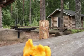
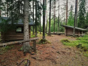
You’ll cross another wooden bridge and climb a grassy hill. On top of the hill you’ll go left on an old forest road. Pretty soon you’ll see the Särkijärvi lean-to which is the perfect place to have a little rest before turning back. Have a little packed lunch by the fire place and listen to the water below. Relax a bit and gather your strength for the long rise up the Sappeenvuori hill.
Suitability and gear
This trail is different from other Laipanmaa trails in a sense that it is not only meant for hikers but also horseback riders and mountainbikers. Please concider the other users of the trail and act calm especially around horses.
Especially when it has rained or it is otherwise wet it is advised to wear sturdy, waterproof shoes and even trousers due to the long grasses alongside the paths. Some rises and descents are steep, stony and have lots of rootstocks which can be very slippery when wet. The trail is suitable for most hikers, but people with limited moving ability may find the steeper parts too challenging. This route has broad, sturdy wooden bridges instead of duckboards. The bridges can be very slippery when wet, though.
There is a lean-to at the turning point including a camp fire place, wood storage and a latrine.

